


Marigna-Nancuise-cote de crin

Bogapuki
User
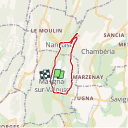

Length
9.6 km

Max alt
491 m

Uphill gradient
238 m
Km-Effort
12.8 km

Min alt
357 m

Downhill gradient
241 m
Boucle
Yes
Creation date :
2018-11-25 09:18:56.776
Updated on :
2018-11-25 09:18:56.776
2h47
Difficulty : Unknown

FREE GPS app for hiking
 SityTrail
IGN / Geographical institutes
SityTrail Plus
The world is yours!
About
Trail Walking of 9.6 km to be discovered at Bourgogne-Franche-Comté, Jura, Marigna-sur-Valouse. This trail is proposed by Bogapuki.
Description
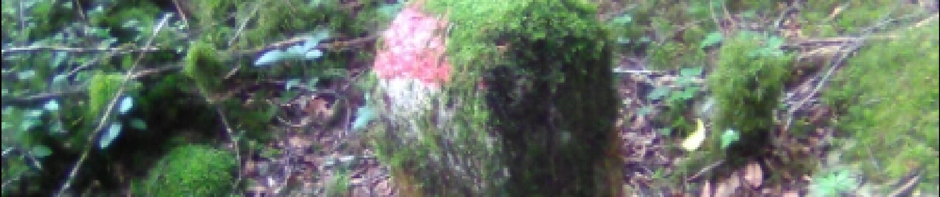
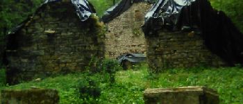
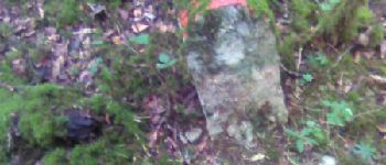
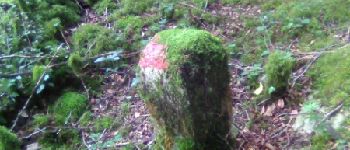
11 juillet 2017
Magnifiques sous-bois
Photos


Positioning
Country:
France
Region :
Bourgogne-Franche-Comté
Department/Province :
Jura
Municipality :
Marigna-sur-Valouse
Location:
Unknown
Start:(Dec)
Start:(UTM)
694198 ; 5146865 (31T) N.
Comments