


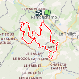


10 km | 14.1 km-effort


User


FREE GPS app for hiking
 SityTrail
IGN / Geographical institutes
SityTrail World
The world is yours!
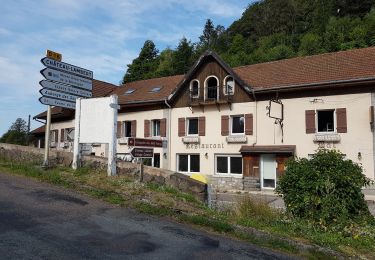
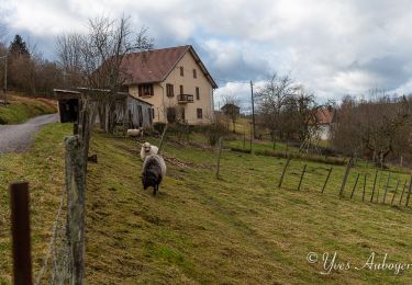
Trail Walking of 18.9 km to be discovered at Grand Est, Vosges, Ramonchamp. This trail is proposed by DanielROLLET.
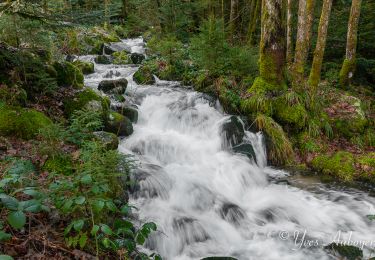
2017 07 29 Ballade à Ramonchamp avec Marie beau temps - 10h35 à 16h45 soit 6h10 compris 30mn pause repas.
raté le sentier qui montait à l'Etang Noir. Retour par la voie verte pas top surtout par la chaleur.
Départ/retour devant l'église


Walking

Walking

On foot

Walking
Walking
Walking
Walking
Walking
Walking