


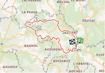
Arrenes Côte plane

csy95
User

Length
15.6 km

Max alt
505 m

Uphill gradient
350 m
Km-Effort
20 km

Min alt
330 m

Downhill gradient
354 m
Boucle
Yes
Creation date :
2018-08-26 10:57:48.988
Updated on :
2018-08-26 10:57:49.073
3h24
Difficulty : Unknown

FREE GPS app for hiking
 SityTrail
IGN / Geographical institutes
SityTrail Plus
The world is yours!
About
Trail Walking of 15.6 km to be discovered at New Aquitaine, Creuse, Arrènes. This trail is proposed by csy95.
Positioning
Country:
France
Region :
New Aquitaine
Department/Province :
Creuse
Municipality :
Arrènes
Location:
Unknown
Start:(Dec)
Start:(UTM)
389546 ; 5103194 (31T) N.
Comments