


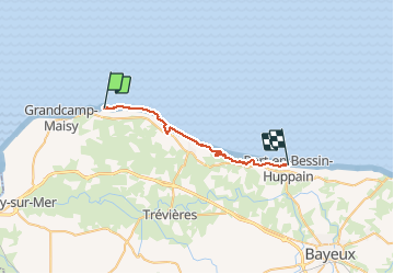
pointe du hoc port en bessin

aubinjoel
User

Length
25 km

Max alt
66 m

Uphill gradient
332 m
Km-Effort
29 km

Min alt
-1 m

Downhill gradient
362 m
Boucle
No
Creation date :
2017-08-08 00:00:00.0
Updated on :
2017-08-08 00:00:00.0
--
Difficulty : Medium

FREE GPS app for hiking
 SityTrail
IGN / Geographical institutes
SityTrail Plus
The world is yours!
About
Trail Walking of 25 km to be discovered at Normandy, Calvados, Cricqueville-en-Bessin. This trail is proposed by aubinjoel.
Positioning
Country:
France
Region :
Normandy
Department/Province :
Calvados
Municipality :
Cricqueville-en-Bessin
Location:
Unknown
Start:(Dec)
Start:(UTM)
646112 ; 5473409 (30U) N.
Comments