


les Bastides - Chalet du Mont Lozère

alfreson
User
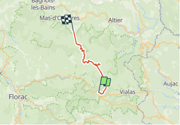

Length
27 km

Max alt
1624 m

Uphill gradient
795 m
Km-Effort
36 km

Min alt
1077 m

Downhill gradient
458 m
Boucle
No
Creation date :
2017-08-14 00:00:00.0
Updated on :
2017-08-14 00:00:00.0
4h26
Difficulty : Medium

FREE GPS app for hiking
 SityTrail
IGN / Geographical institutes
SityTrail Plus
The world is yours!
About
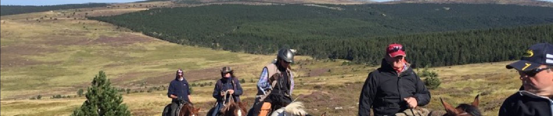
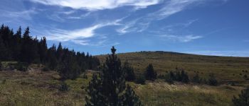
Trail Equestrian of 27 km to be discovered at Occitania, Lozère, Pont de Montvert - Sud Mont Lozère. This trail is proposed by alfreson.
Photos


52 photos in total. Please click on a photo to see them all in the gallery.

Positioning
Country:
France
Region :
Occitania
Department/Province :
Lozère
Municipality :
Pont de Montvert - Sud Mont Lozère
Location:
Unknown
Start:(Dec)
Start:(UTM)
565186 ; 4909021 (31T) N.
Comments