


4.1 km | 5.9 km-effort

User


FREE GPS app for hiking
 SityTrail
IGN / Geographical institutes
SityTrail World
The world is yours!
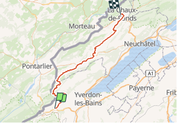
Trail Cycle of 81 km to be discovered at Vaud, District du Jura-Nord vaudois, Lignerolle. This trail is proposed by karawatsj.
Heel mooie maar zware fietstocht. Stukje van de Veloroute 7 in Zwitserland.
Er zitten 2 beklimmingen in.
Een beklimming van 7km met 650m hoogteverschil en een beklimming van 4km met 350m hoogteverschil. Tussendoor gaat het lichtjes op en af.
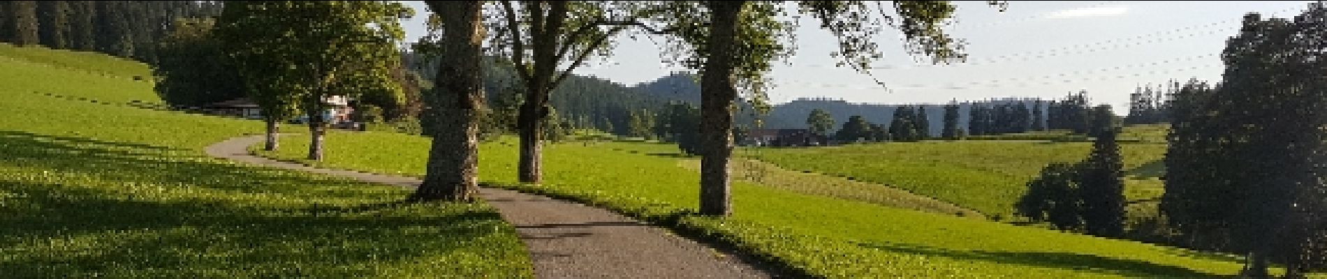
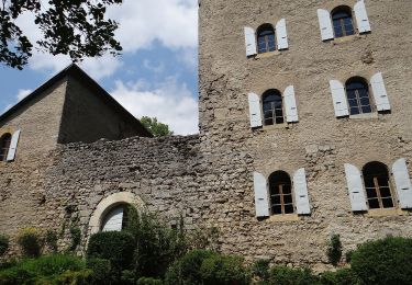
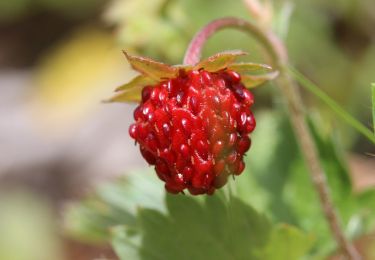
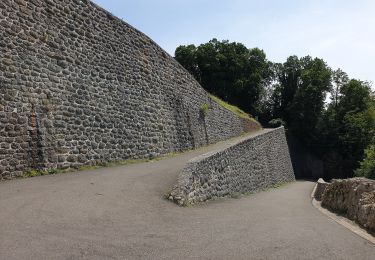
 - Photo 1")
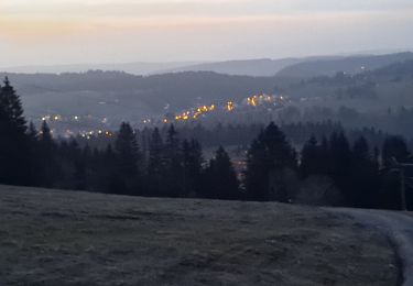
 - Photo 2")
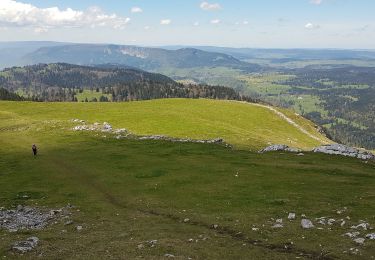
 - Photo 3")
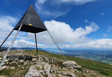
 - Photo 4")
 - Photo 5")
 - Photo 6")
 - Photo 7")
 - Photo 8")
On foot
On foot
On foot

Walking
On foot
Walking
Walking
Walking

Other activity