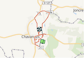
Trail Via ferrata Chavanges - PAC Chavanges - Photo

PAC Chavanges

 DaVinci
DaVinci

User

© OpenStreetMap contributors
Length
Length
7.7 km
Max alt
Max alt
141 m
Uphill gradient
Uphill gradient
37 m
Km-Effort
Km-Effort  
8.1 km
Min alt
Min alt
121 m
Downhill gradient
Downhill gradient
37 m
Boucle
Boucle
No
Creation date :
2017-08-29 00:00:00.0
Updated on :
2017-08-29 00:00:00.0

(0 Reviews)

Via ferrata
Via ferrata
44m
Difficulty : Unknown

Scan this QR Code to open this trail in the SityTrail application

FREE GPS app for hiking

Logo SityTrail SityTrail

IGN / Geographical institutes

Download SityTrail from the App Store Download SityTrail from Google Play

Logo SityTrail SityTrail Plus

The world is yours!

Download SityTrail from the App Store Download SityTrail from Google Play Download SityTrail on Huawei AppGallery

About

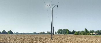
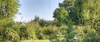
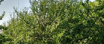
Trail Via ferrata of 7.7 km to be discovered at Grand Est, Aube, Chavanges. This trail is proposed by DaVinci.
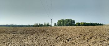
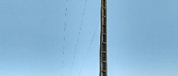
Elevation profile

Photos

Points of interest

Point of interest Chavanges - Point 1 amont - Photo
DaVinci
CHAVANGES 
Point of interest Chavanges - Point 2 aval - Photo
DaVinci
CHAVANGES 
Point of interest Chavanges - Point 3 amont - Photo
DaVinci
CHAVANGES 
Point of interest Chavanges - Point 4 aval - Photo
DaVinci
CHAVANGES 
Point of interest Chavanges - Point 14 amont - Photo
DaVinci
CHAVANGES 

Positioning

Country:
France
Region :
Grand Est
Department/Province :
Aube
Municipality :
Chavanges
Location:
Unknown
Start:(UTM)
616728 ; 5373503 (31U) N.


Close
My subscriptions