


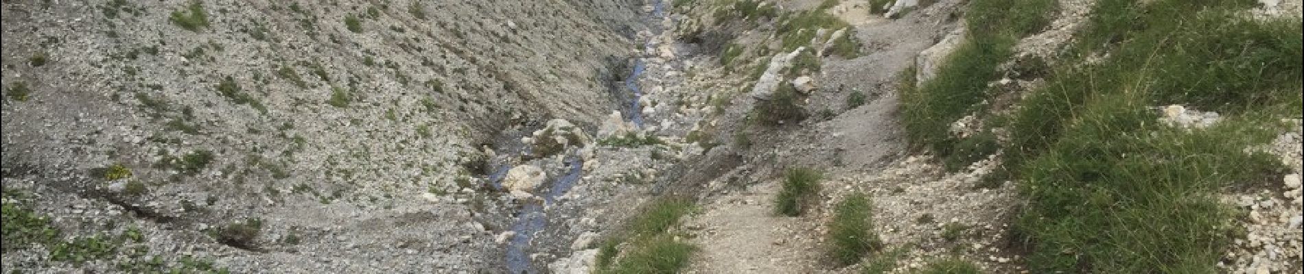
CARRIE`RE ROMAINES-SOURCE DE BACHASSON-13-08-2017

RD78-38
User
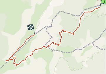

Length
10.8 km

Max alt
1923 m

Uphill gradient
956 m
Km-Effort
21 km

Min alt
1136 m

Downhill gradient
188 m
Boucle
No
Creation date :
2017-09-03 00:00:00.0
Updated on :
2020-07-11 00:21:19.91
5h16
Difficulty : Very easy

FREE GPS app for hiking
 SityTrail
IGN / Geographical institutes
SityTrail Plus
The world is yours!
About
Trail Walking of 10.8 km to be discovered at Auvergne-Rhône-Alpes, Isère, Saint-Michel-les-Portes. This trail is proposed by RD78-38.
Description
Superbe Randonnée avec une grande variété de Paysages.
Photos


Positioning
Country:
France
Region :
Auvergne-Rhône-Alpes
Department/Province :
Isère
Municipality :
Saint-Michel-les-Portes
Location:
Unknown
Start:(Dec)
Start:(UTM)
702070 ; 4970349 (31T) N.
Comments