


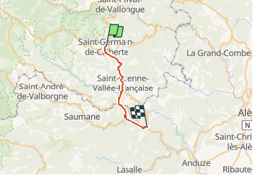
st germain de calmertre-st jean du gard.

fournieralain
User

Length
22 km

Max alt
603 m

Uphill gradient
727 m
Km-Effort
33 km

Min alt
183 m

Downhill gradient
1008 m
Boucle
No
Creation date :
2017-09-17 00:00:00.0
Updated on :
2017-09-17 00:00:00.0
7h23
Difficulty : Unknown

FREE GPS app for hiking
 SityTrail
IGN / Geographical institutes
SityTrail Plus
The world is yours!
About
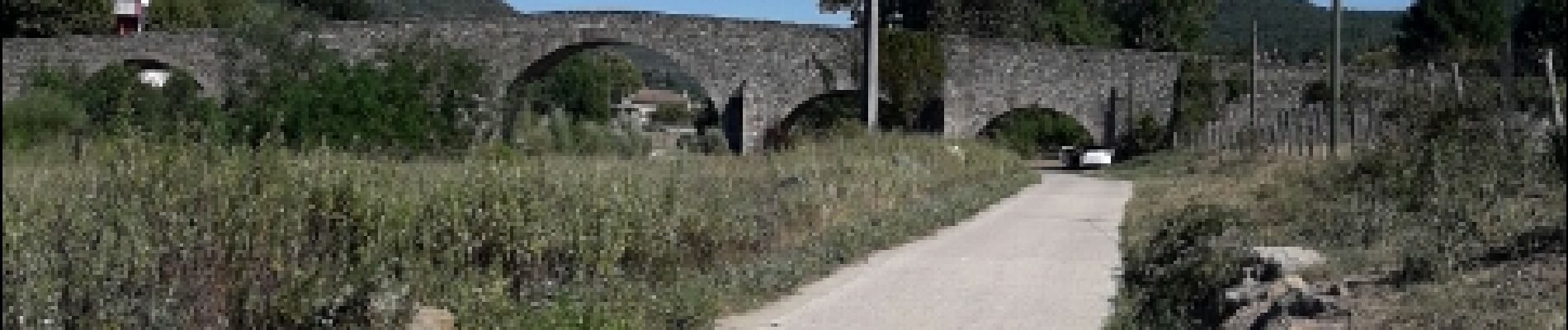
Trail Other activity of 22 km to be discovered at Occitania, Lozère, Saint-Germain-de-Calberte. This trail is proposed by fournieralain.
Photos


Positioning
Country:
France
Region :
Occitania
Department/Province :
Lozère
Municipality :
Saint-Germain-de-Calberte
Location:
Unknown
Start:(Dec)
Start:(UTM)
564712 ; 4896463 (31T) N.
Comments