


Florac - Grizac

nolsim
User
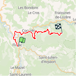

Length
22 km

Max alt
1083 m

Uphill gradient
953 m
Km-Effort
33 km

Min alt
537 m

Downhill gradient
422 m
Boucle
No
Creation date :
2018-08-18 14:07:13.659
Updated on :
2018-08-18 14:07:13.659
6h16
Difficulty : Difficult

FREE GPS app for hiking
 SityTrail
IGN / Geographical institutes
SityTrail Plus
The world is yours!
About
Trail Walking of 22 km to be discovered at Occitania, Lozère, Florac Trois Rivières. This trail is proposed by nolsim.
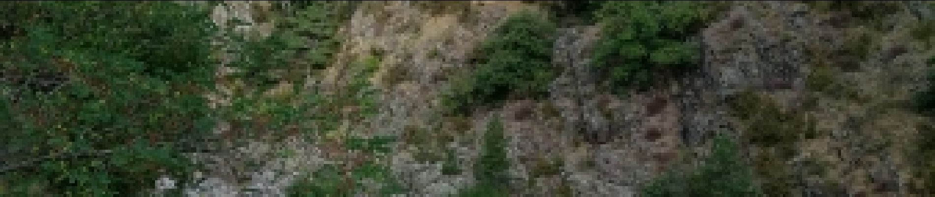
Photos

Positioning
Country:
France
Region :
Occitania
Department/Province :
Lozère
Municipality :
Florac Trois Rivières
Location:
Florac
Start:(Dec)
Start:(UTM)
547582 ; 4907710 (31T) N.
Comments