


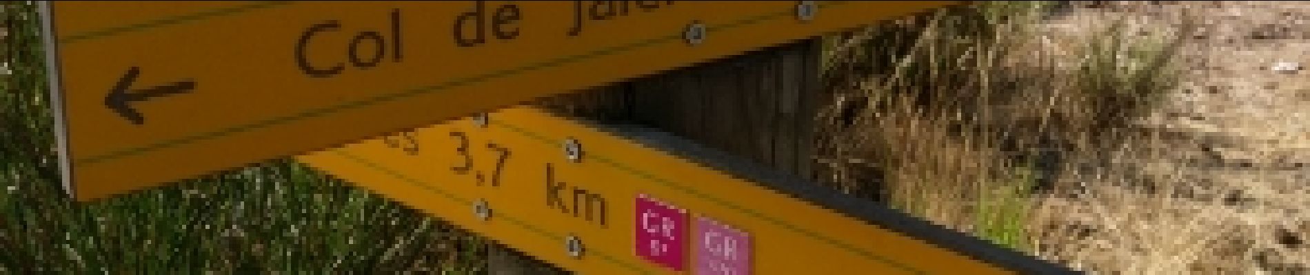
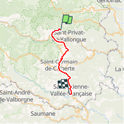
La Lauze - St Étienne Vallée Française

nolsim
User

Length
29 km

Max alt
1064 m

Uphill gradient
841 m
Km-Effort
42 km

Min alt
241 m

Downhill gradient
1348 m
Boucle
No
Creation date :
2018-08-18 14:07:12.699
Updated on :
2018-08-18 14:07:12.699
9h03
Difficulty : Difficult

FREE GPS app for hiking
 SityTrail
IGN / Geographical institutes
SityTrail Plus
The world is yours!
About
Trail Walking of 29 km to be discovered at Occitania, Lozère, Saint-Privat-de-Vallongue. This trail is proposed by nolsim.
Photos


Positioning
Country:
France
Region :
Occitania
Department/Province :
Lozère
Municipality :
Saint-Privat-de-Vallongue
Location:
Unknown
Start:(Dec)
Start:(UTM)
564767 ; 4904400 (31T) N.
Comments