


rochebrune

Robertplessier
User
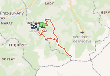

Length
13.1 km

Max alt
2095 m

Uphill gradient
902 m
Km-Effort
25 km

Min alt
1313 m

Downhill gradient
894 m
Boucle
Yes
Creation date :
2017-10-01 00:00:00.0
Updated on :
2022-11-08 11:19:13.825
5h00
Difficulty : Difficult

FREE GPS app for hiking
 SityTrail
IGN / Geographical institutes
SityTrail Plus
The world is yours!
About
Trail Walking of 13.1 km to be discovered at Auvergne-Rhône-Alpes, Upper Savoy, Megève. This trail is proposed by Robertplessier.
Description
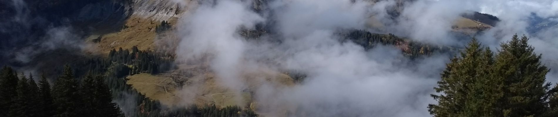
Jolie rando autour de Megève, tour Rochebrune
Photos


Positioning
Country:
France
Region :
Auvergne-Rhône-Alpes
Department/Province :
Upper Savoy
Municipality :
Megève
Location:
Unknown
Start:(Dec)
Start:(UTM)
313581 ; 5077202 (32T) N.
Comments