


171001 EnCours

randodan
User
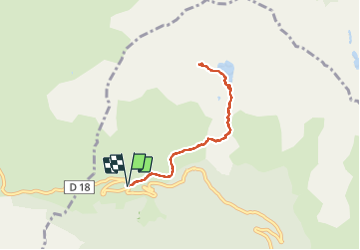

Length
7.3 km

Max alt
1804 m

Uphill gradient
461 m
Km-Effort
13.4 km

Min alt
1382 m

Downhill gradient
467 m
Boucle
Yes
Creation date :
2018-04-16 23:57:34.159
Updated on :
2018-04-16 23:57:34.159
4h00
Difficulty : Unknown

FREE GPS app for hiking
 SityTrail
IGN / Geographical institutes
SityTrail Plus
The world is yours!
About
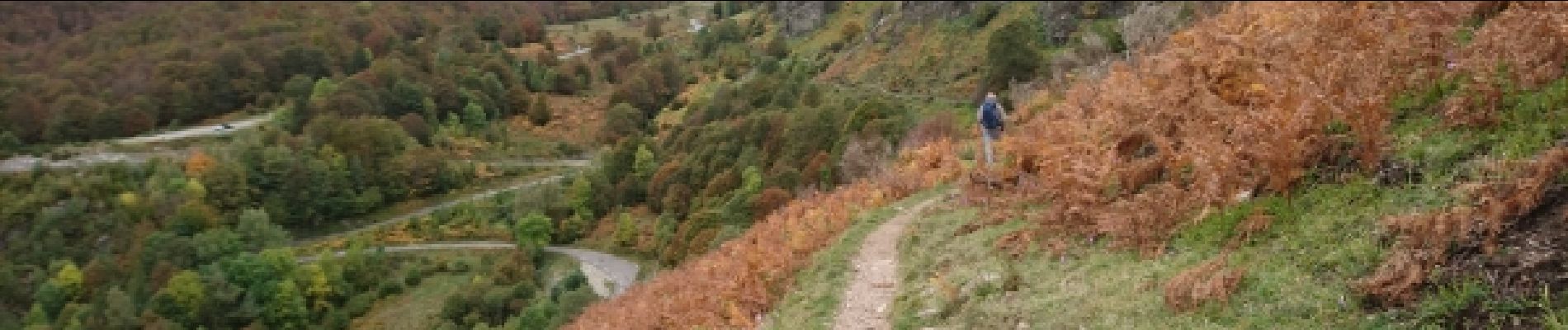
Trail Walking of 7.3 km to be discovered at Occitania, Ariège, Val-de-Sos. This trail is proposed by randodan.
Description
En cours
Photos


Positioning
Country:
France
Region :
Occitania
Department/Province :
Ariège
Municipality :
Val-de-Sos
Location:
Suc-et-Sentenac
Start:(Dec)
Start:(UTM)
370863 ; 4740543 (31T) N.
Comments