


Monnieres (44)

bellicaud
User

Length
8 km

Max alt
60 m

Uphill gradient
84 m
Km-Effort
9.1 km

Min alt
8 m

Downhill gradient
79 m
Boucle
Yes
Creation date :
2018-04-17 00:07:04.218
Updated on :
2018-04-17 00:07:04.218
2h02
Difficulty : Easy

FREE GPS app for hiking
 SityTrail
IGN / Geographical institutes
SityTrail Plus
The world is yours!
About
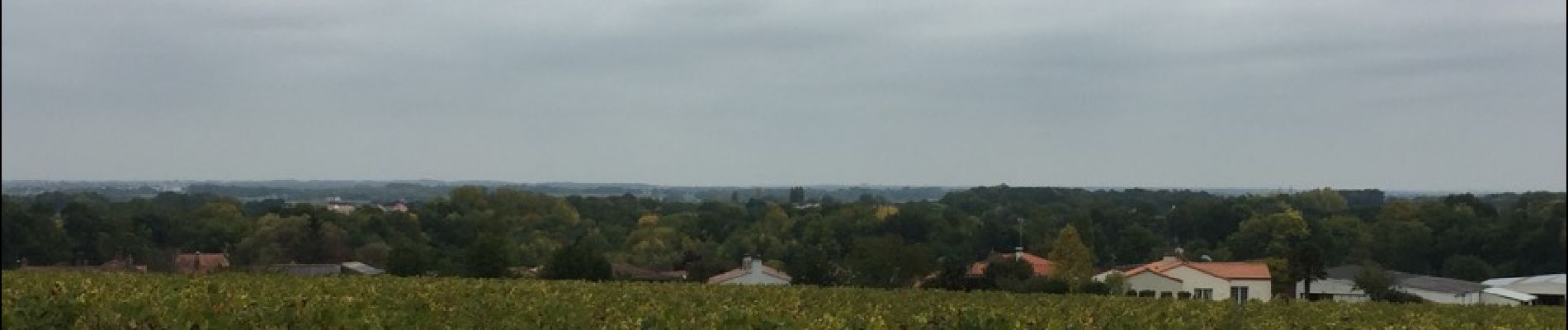
Trail Other activity of 8 km to be discovered at Pays de la Loire, Loire-Atlantique, Monnières. This trail is proposed by bellicaud.
Photos
 - Photo 1")
 - Photo 2")
 - Photo 3")
 - Photo 4")
 - Photo 5")
 - Photo 6")
Positioning
Country:
France
Region :
Pays de la Loire
Department/Province :
Loire-Atlantique
Municipality :
Monnières
Location:
Unknown
Start:(Dec)
Start:(UTM)
624715 ; 5221142 (30T) N.
Comments