


171007 EnCours

randodan
User
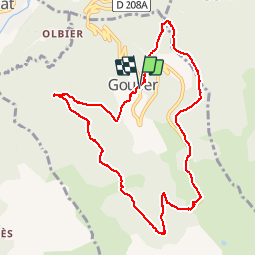

Length
10.8 km

Max alt
1497 m

Uphill gradient
474 m
Km-Effort
17.1 km

Min alt
1098 m

Downhill gradient
478 m
Boucle
Yes
Creation date :
2018-04-17 10:07:52.036
Updated on :
2018-04-17 10:07:52.036
4h50
Difficulty : Unknown

FREE GPS app for hiking
 SityTrail
IGN / Geographical institutes
SityTrail Plus
The world is yours!
About
Trail Walking of 10.8 km to be discovered at Occitania, Ariège, Val-de-Sos. This trail is proposed by randodan.
Description
- 7 octobre - De Goulier à sa Station via Risoul (GR 10B) -<br>
En cours
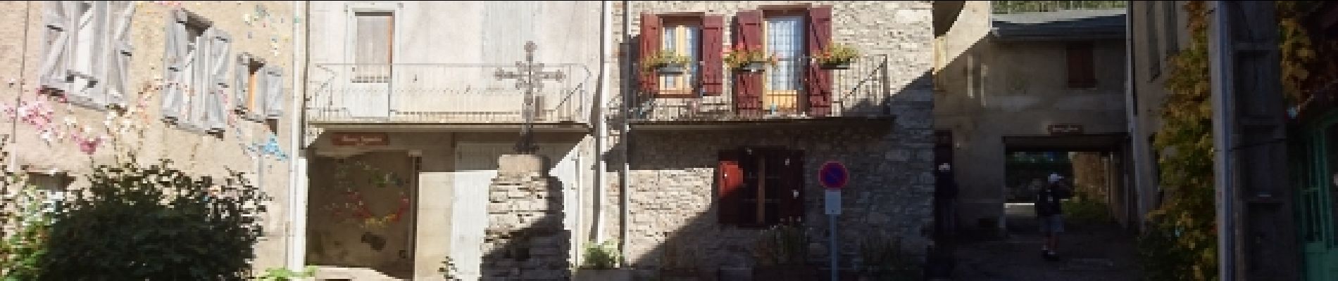
Photos


23 photos in total. Please click on a photo to see them all in the gallery.
Positioning
Country:
France
Region :
Occitania
Department/Province :
Ariège
Municipality :
Val-de-Sos
Location:
Unknown
Start:(Dec)
Start:(UTM)
377625 ; 4734663 (31T) N.
Comments
tres,tres intéressant !