


SVG 171005

randodan
User


Length
7.2 km

Max alt
962 m

Uphill gradient
262 m
Km-Effort
10.7 km

Min alt
724 m

Downhill gradient
258 m
Boucle
Yes
Creation date :
2018-04-17 10:57:47.962
Updated on :
2018-04-17 10:57:47.962
4h32
Difficulty : Unknown

FREE GPS app for hiking
 SityTrail
IGN / Geographical institutes
SityTrail Plus
The world is yours!
About
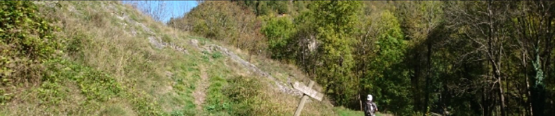
Trail Walking of 7.2 km to be discovered at Occitania, Ariège, Val-de-Sos. This trail is proposed by randodan.
Photos


Positioning
Country:
France
Region :
Occitania
Department/Province :
Ariège
Municipality :
Val-de-Sos
Location:
Unknown
Start:(Dec)
Start:(UTM)
376689 ; 4736222 (31T) N.
Comments