


SVG 171007

randodan
User
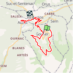

Length
21 km

Max alt
1497 m

Uphill gradient
537 m
Km-Effort
29 km

Min alt
708 m

Downhill gradient
924 m
Boucle
No
Creation date :
2018-04-17 10:57:50.569
Updated on :
2018-04-17 10:57:50.569
9h06
Difficulty : Unknown

FREE GPS app for hiking
 SityTrail
IGN / Geographical institutes
SityTrail Plus
The world is yours!
About
Trail Walking of 21 km to be discovered at Occitania, Ariège, Val-de-Sos. This trail is proposed by randodan.
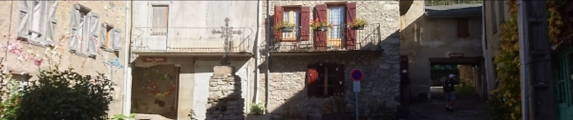
Photos


23 photos in total. Please click on a photo to see them all in the gallery.
Positioning
Country:
France
Region :
Occitania
Department/Province :
Ariège
Municipality :
Val-de-Sos
Location:
Unknown
Start:(Dec)
Start:(UTM)
377625 ; 4734663 (31T) N.
Comments