


Marsaney vigne

florianlive
User
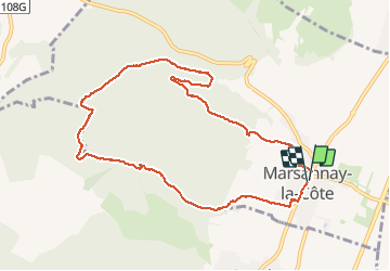

Length
9.4 km

Max alt
465 m

Uphill gradient
287 m
Km-Effort
13.2 km

Min alt
274 m

Downhill gradient
285 m
Boucle
Yes
Creation date :
2018-04-17 11:00:44.692
Updated on :
2018-04-17 11:00:44.692
2h21
Difficulty : Easy

FREE GPS app for hiking
 SityTrail
IGN / Geographical institutes
SityTrail Plus
The world is yours!
About
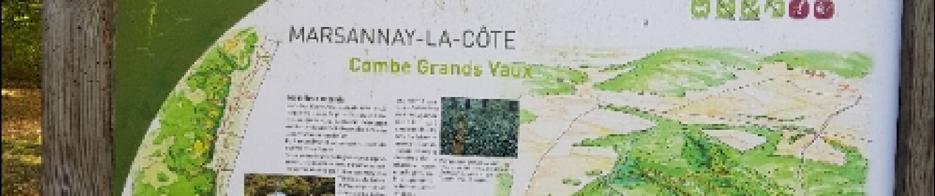
Trail Walking of 9.4 km to be discovered at Bourgogne-Franche-Comté, Côte-d'Or, Marsannay-la-Côte. This trail is proposed by florianlive.
Photos

Positioning
Country:
France
Region :
Bourgogne-Franche-Comté
Department/Province :
Côte-d'Or
Municipality :
Marsannay-la-Côte
Location:
Unknown
Start:(Dec)
Start:(UTM)
650419 ; 5237174 (31T) N.
Comments