


Luik: 20171028 Sourbrodt

misph
User
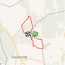

Length
9.1 km

Max alt
634 m

Uphill gradient
133 m
Km-Effort
10.9 km

Min alt
544 m

Downhill gradient
132 m
Boucle
Yes
Creation date :
2018-03-12 10:50:40.852
Updated on :
2018-03-12 10:50:40.852
2h22
Difficulty : Easy

FREE GPS app for hiking
 SityTrail
IGN / Geographical institutes
SityTrail Plus
The world is yours!
About
Trail Walking of 9.1 km to be discovered at Wallonia, Liège, Waimes. This trail is proposed by misph.
Description
Luik: 20171028 Sourbrodt


Positioning
Country:
Belgium
Region :
Wallonia
Department/Province :
Liège
Municipality :
Waimes
Location:
Robertville
Start:(Dec)
Start:(UTM)
296520 ; 5597295 (32U) N.
Comments