


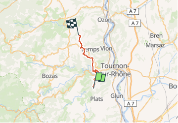

40 km | 53 km-effort


User


FREE GPS app for hiking
 SityTrail
IGN / Geographical institutes
SityTrail World
The world is yours!
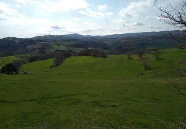
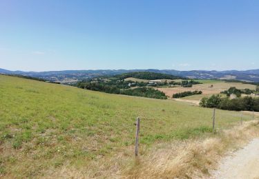
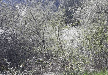
Trail Equestrian of 21 km to be discovered at Auvergne-Rhône-Alpes, Ardèche, Plats. This trail is proposed by jacquesdunogier.
Du Gîte La Bonnefontaine au gîte Le Corral boucle caval 07 Plats à Cheminas

Mountain bike
Walking
Mountain bike
Walking
Walking

Walking
Walking
Walking
Walking