


9.6 km | 11.8 km-effort


User


FREE GPS app for hiking
 SityTrail
IGN / Geographical institutes
SityTrail World
The world is yours!
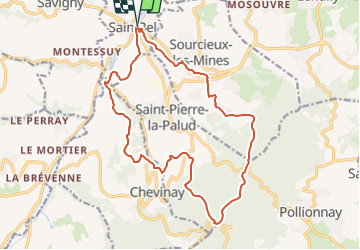
Trail Walking of 18.2 km to be discovered at Auvergne-Rhône-Alpes, Rhône, Sain-Bel. This trail is proposed by Thomasdanielle.
Départ/Arrivée : Parking de la gare après le passage à niveau (nombre de places 50). Partir à droite direction la Pérollière, le grand Bélichon, le Martinet, la Carrière, la Chandelière, Le Micollet, le Petit St. Bonnet, Le vieux Bourg, Les Marollières, Le col de la Luère, La Croix du Ban (à gauche laisser le GR), La Montagne, le Sarrazin, les anciennes mines, Buth, retour à Sain-Bel
Walking

Walking
Walking
Walking

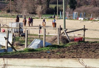
Horseback riding

Walking
Walking
Walking
Walking