


Menhir de Wéris

henriantoine
User
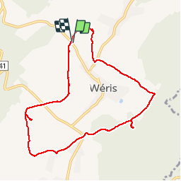

Length
8.4 km

Max alt
379 m

Uphill gradient
162 m
Km-Effort
10.6 km

Min alt
241 m

Downhill gradient
163 m
Boucle
Yes
Creation date :
2018-09-11 10:15:43.017
Updated on :
2018-09-11 10:15:43.017
2h36
Difficulty : Very easy

FREE GPS app for hiking
 SityTrail
IGN / Geographical institutes
SityTrail Plus
The world is yours!
About
Trail Walking of 8.4 km to be discovered at Wallonia, Luxembourg, Durbuy. This trail is proposed by henriantoine.
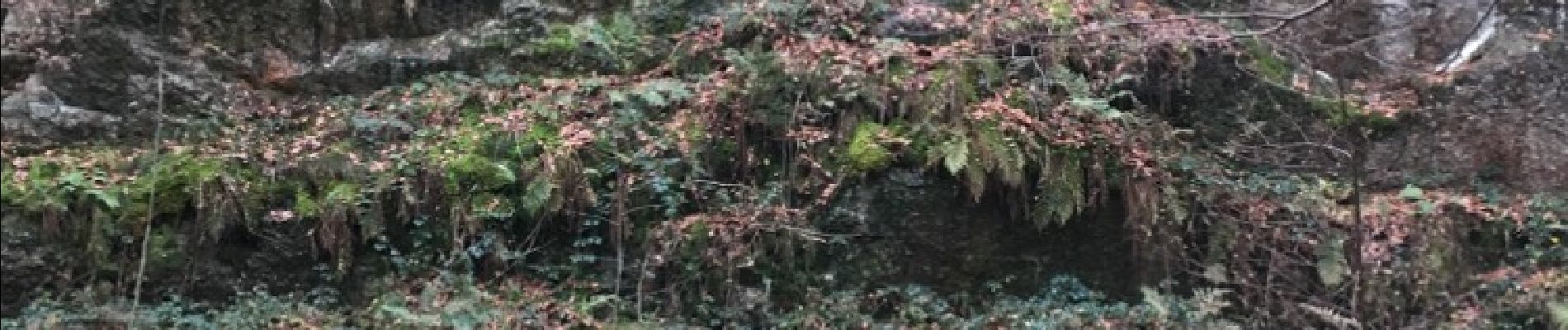
Photos


Positioning
Country:
Belgium
Region :
Wallonia
Department/Province :
Luxembourg
Municipality :
Durbuy
Location:
Wéris
Start:(Dec)
Start:(UTM)
679576 ; 5578763 (31U) N.
Comments