


la crete des infernets

Coryphene
User
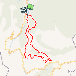

Length
8.6 km

Max alt
599 m

Uphill gradient
408 m
Km-Effort
14 km

Min alt
246 m

Downhill gradient
410 m
Boucle
Yes
Creation date :
2018-04-17 13:29:39.437
Updated on :
2019-09-24 16:32:25.444
3h22
Difficulty : Difficult

FREE GPS app for hiking
 SityTrail
IGN / Geographical institutes
SityTrail Plus
The world is yours!
About
Trail Walking of 8.6 km to be discovered at Provence-Alpes-Côte d'Azur, Bouches-du-Rhône, Auriol. This trail is proposed by Coryphene.
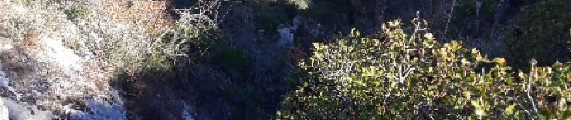
Photos


Positioning
Country:
France
Region :
Provence-Alpes-Côte d'Azur
Department/Province :
Bouches-du-Rhône
Municipality :
Auriol
Location:
Unknown
Start:(Dec)
Start:(UTM)
715557 ; 4803217 (31T) N.
Comments
Navigation délicate. Merci pour les kerns en début de rando!