


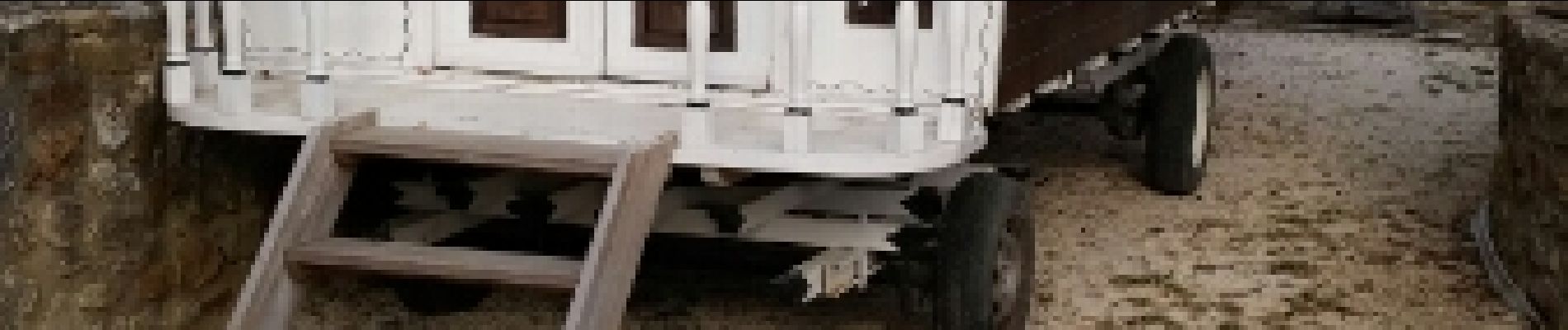
st laurent la vernede

GOIOLIRIBES
User
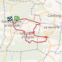

Length
17.8 km

Max alt
253 m

Uphill gradient
287 m
Km-Effort
22 km

Min alt
169 m

Downhill gradient
288 m
Boucle
Yes
Creation date :
2018-04-17 14:41:53.467
Updated on :
2018-04-17 14:41:53.467
5h45
Difficulty : Unknown

FREE GPS app for hiking
 SityTrail
IGN / Geographical institutes
SityTrail Plus
The world is yours!
About
Trail Walking of 17.8 km to be discovered at Occitania, Gard, Saint-Laurent-la-Vernède. This trail is proposed by GOIOLIRIBES.
Photos


Positioning
Country:
France
Region :
Occitania
Department/Province :
Gard
Municipality :
Saint-Laurent-la-Vernède
Location:
Unknown
Start:(Dec)
Start:(UTM)
616741 ; 4884667 (31T) N.
Comments