


Valériane Guillaume Chamrousse

mout38
User
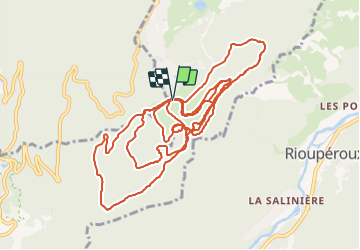

Length
18.9 km

Max alt
1730 m

Uphill gradient
471 m
Km-Effort
25 km

Min alt
1500 m

Downhill gradient
472 m
Boucle
Yes
Creation date :
2018-04-17 15:46:44.344
Updated on :
2018-04-17 15:46:44.344
2h18
Difficulty : Unknown

FREE GPS app for hiking
 SityTrail
IGN / Geographical institutes
SityTrail Plus
The world is yours!
About
Trail Winter sports of 18.9 km to be discovered at Auvergne-Rhône-Alpes, Isère, Chamrousse. This trail is proposed by mout38.
Description
fond
Positioning
Country:
France
Region :
Auvergne-Rhône-Alpes
Department/Province :
Isère
Municipality :
Chamrousse
Location:
Unknown
Start:(Dec)
Start:(UTM)
726404 ; 4997973 (31T) N.
Comments