


Pécherel-Col de Chérel

Bogapuki
User
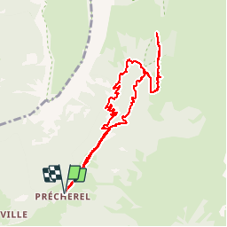

Length
9.8 km

Max alt
1503 m

Uphill gradient
522 m
Km-Effort
16.8 km

Min alt
982 m

Downhill gradient
521 m
Boucle
Yes
Creation date :
2018-11-25 09:18:51.823
Updated on :
2018-11-25 09:18:51.823
3h36
Difficulty : Easy

FREE GPS app for hiking
 SityTrail
IGN / Geographical institutes
SityTrail Plus
The world is yours!
About
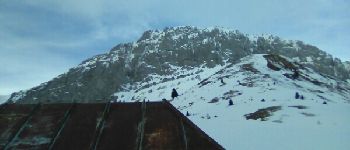
Trail Walking of 9.8 km to be discovered at Auvergne-Rhône-Alpes, Savoy, Jarsy. This trail is proposed by Bogapuki.
Description
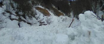
15 janvier 2018
Rando-raquette assez douce. Attention quelques points avalancheux.
Éventuellement à faire dans l'autre sens ce qui permet une descente moins difficile (glissante) sur les feuilles mortes.
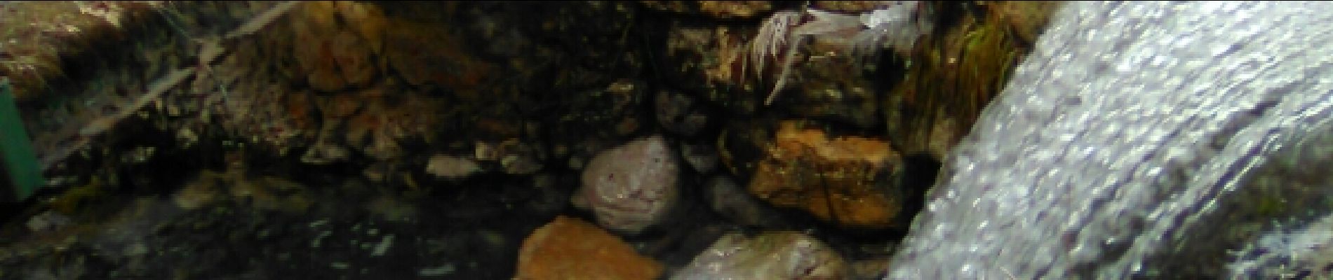
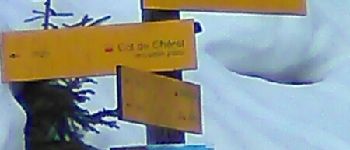
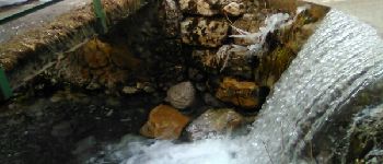
Photos


Positioning
Country:
France
Region :
Auvergne-Rhône-Alpes
Department/Province :
Savoy
Municipality :
Jarsy
Location:
Unknown
Start:(Dec)
Start:(UTM)
281224 ; 5060650 (32T) N.
Comments