


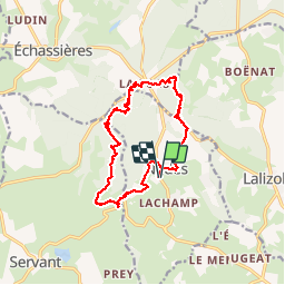
Le sentier des minerais

Gegetop
User

Length
15.3 km

Max alt
742 m

Uphill gradient
382 m
Km-Effort
20 km

Min alt
534 m

Downhill gradient
382 m
Boucle
Yes
Creation date :
2018-04-17 16:25:34.283
Updated on :
2018-04-17 16:25:34.283
3h04
Difficulty : Easy

FREE GPS app for hiking
 SityTrail
IGN / Geographical institutes
SityTrail Plus
The world is yours!
About
Trail Walking of 15.3 km to be discovered at Auvergne-Rhône-Alpes, Allier, Nades. This trail is proposed by Gegetop.
Description
Départ de la salle polyvalente
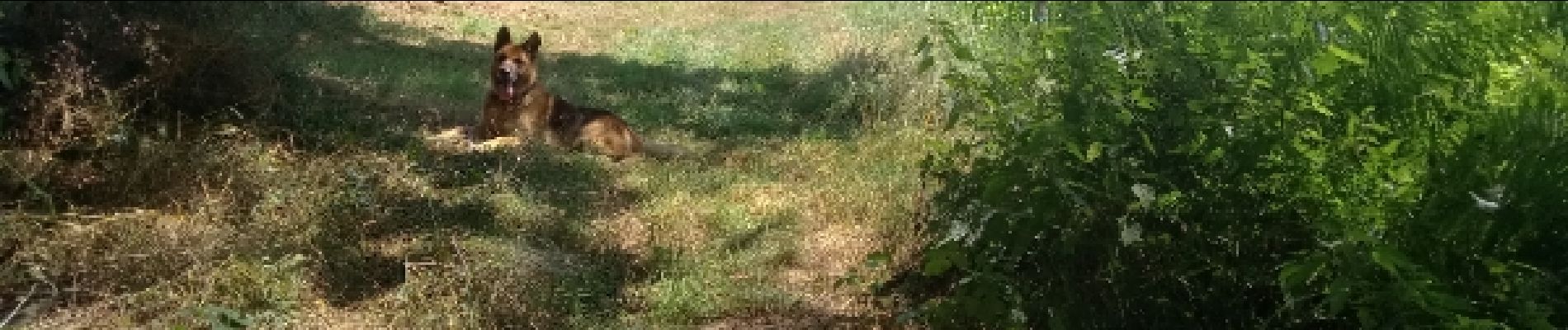
Photos


Positioning
Country:
France
Region :
Auvergne-Rhône-Alpes
Department/Province :
Allier
Municipality :
Nades
Location:
Unknown
Start:(Dec)
Start:(UTM)
497474 ; 5111477 (31T) N.
Comments