


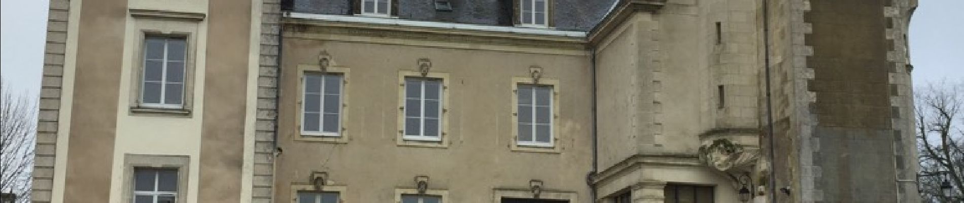
Candé et la chocolaterie

bellicaud
User

Length
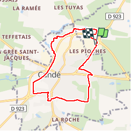
7.4 km

Max alt
62 m

Uphill gradient
66 m
Km-Effort
8.3 km

Min alt
36 m

Downhill gradient
62 m
Boucle
Yes
Creation date :
2018-04-17 16:26:11.537
Updated on :
2018-04-17 16:26:11.537
1h33
Difficulty : Very easy

FREE GPS app for hiking
 SityTrail
IGN / Geographical institutes
SityTrail Plus
The world is yours!
About
Trail Other activity of 7.4 km to be discovered at Pays de la Loire, Maine-et-Loire, Angrie. This trail is proposed by bellicaud.
Photos


Positioning
Country:
France
Region :
Pays de la Loire
Department/Province :
Maine-et-Loire
Municipality :
Angrie
Location:
Unknown
Start:(Dec)
Start:(UTM)
648504 ; 5270094 (30T) N.
Comments