


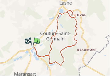


10.3 km | 12.6 km-effort


User


FREE GPS app for hiking
 SityTrail
IGN / Geographical institutes
SityTrail World
The world is yours!
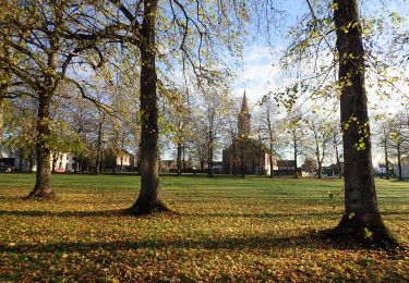
Trail Walking of 9.2 km to be discovered at Wallonia, Walloon Brabant, Lasne. This trail is proposed by calofrancis.
Beau parcours varié...
Attention entre les 2 bornes, le chemin le long des étangs pourrait être privé !!!
___www.marcheursdumardi.be___

Walking

Walking

Walking

Mountain bike
Mountain bike
Mountain bike

Mountain bike
Walking
Walking