


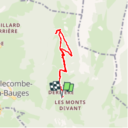
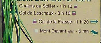
Mont Derrière-ch. du Sollier

Bogapuki
User

Length
6.1 km

Max alt
1452 m

Uphill gradient
445 m
Km-Effort
12 km

Min alt
1005 m

Downhill gradient
442 m
Boucle
Yes
Creation date :
2018-11-25 09:18:51.272
Updated on :
2018-11-25 09:18:51.272
2h26
Difficulty : Easy

FREE GPS app for hiking
 SityTrail
IGN / Geographical institutes
SityTrail Plus
The world is yours!
About
Trail Walking of 6.1 km to be discovered at Auvergne-Rhône-Alpes, Savoy, Bellecombe-en-Bauges. This trail is proposed by Bogapuki.
Description
29 janvier 2018
Rando facile effectuée par très beau temps.
Peu de neige a permis de ne pas utiliser les raquettes.
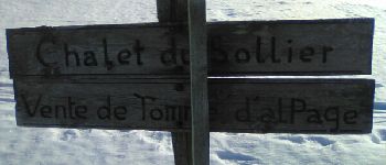
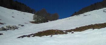
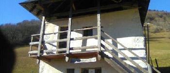
Photos


Positioning
Country:
France
Region :
Auvergne-Rhône-Alpes
Department/Province :
Savoy
Municipality :
Bellecombe-en-Bauges
Location:
Unknown
Start:(Dec)
Start:(UTM)
279026 ; 5068676 (32T) N.
Comments