


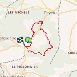
de belcodene a badarusse

Coryphene
User

Length
13.1 km

Max alt
472 m

Uphill gradient
306 m
Km-Effort
17.2 km

Min alt
305 m

Downhill gradient
306 m
Boucle
Yes
Creation date :
2018-04-17 19:48:56.371
Updated on :
2018-04-17 19:48:56.371
4h03
Difficulty : Easy

FREE GPS app for hiking
 SityTrail
IGN / Geographical institutes
SityTrail Plus
The world is yours!
About
Trail Walking of 13.1 km to be discovered at Provence-Alpes-Côte d'Azur, Bouches-du-Rhône, Belcodène. This trail is proposed by Coryphene.
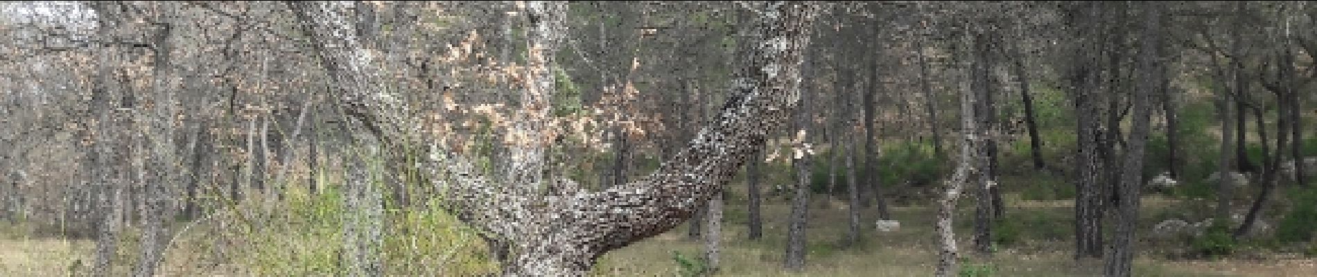
Photos


Positioning
Country:
France
Region :
Provence-Alpes-Côte d'Azur
Department/Province :
Bouches-du-Rhône
Municipality :
Belcodène
Location:
Unknown
Start:(Dec)
Start:(UTM)
711274 ; 4810611 (31T) N.
Comments
belle randonnée