


Facemeunier- Manoir de Veygoux

Gegetop
User


Length
10 km

Max alt
792 m

Uphill gradient
176 m
Km-Effort
12.3 km

Min alt
689 m

Downhill gradient
177 m
Boucle
Yes
Creation date :
2018-04-17 21:13:58.285
Updated on :
2018-04-17 21:13:58.285
2h15
Difficulty : Medium

FREE GPS app for hiking
 SityTrail
IGN / Geographical institutes
SityTrail Plus
The world is yours!
About
Trail Walking of 10 km to be discovered at Auvergne-Rhône-Alpes, Puy-de-Dôme, Charbonnières-les-Varennes. This trail is proposed by Gegetop.
Description
En passant par Charbonnière les Varennes
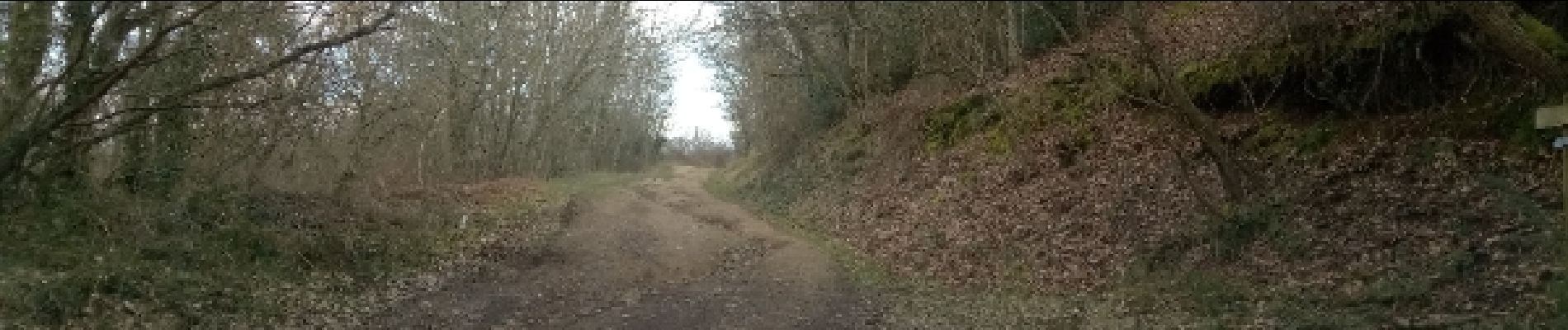
Photos

Positioning
Country:
France
Region :
Auvergne-Rhône-Alpes
Department/Province :
Puy-de-Dôme
Municipality :
Charbonnières-les-Varennes
Location:
Unknown
Start:(Dec)
Start:(UTM)
501491 ; 5082813 (31T) N.
Comments