


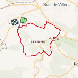
Balade de Lesve à Arbre

Desrumaux
User GUIDE

Length
12.9 km

Max alt
262 m

Uphill gradient
303 m
Km-Effort
16.9 km

Min alt
137 m

Downhill gradient
315 m
Boucle
Yes
Creation date :
2018-04-17 23:52:04.731
Updated on :
2018-04-17 23:52:04.731
3h36
Difficulty : Easy

FREE GPS app for hiking
 SityTrail
IGN / Geographical institutes
SityTrail Plus
The world is yours!
About
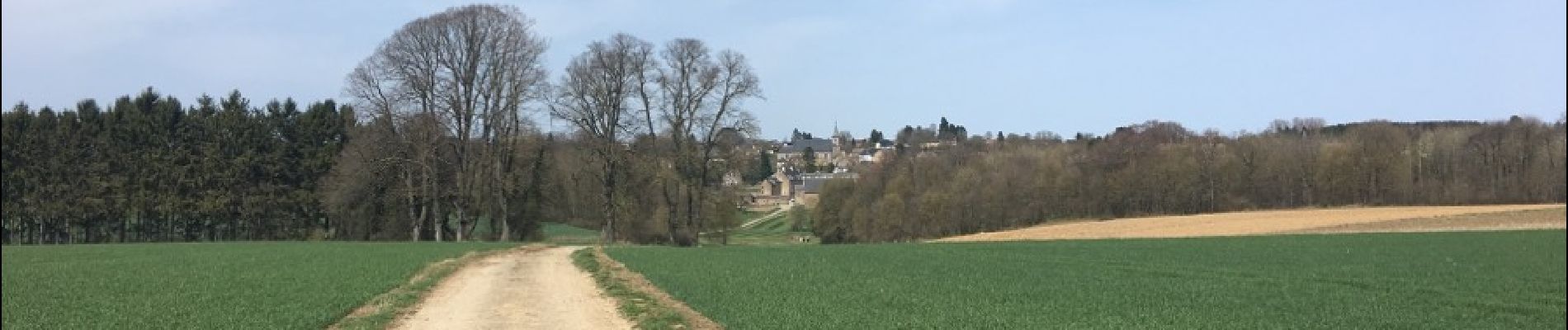
Trail Walking of 12.9 km to be discovered at Wallonia, Namur, Profondeville. This trail is proposed by Desrumaux.
Description
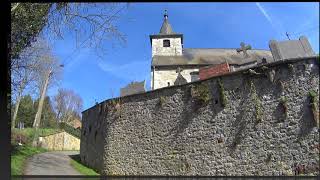
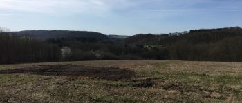
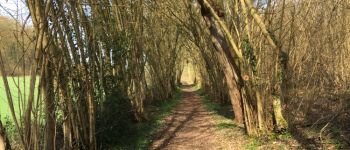
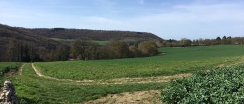
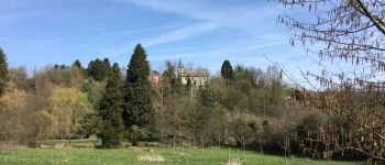
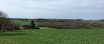
Jolie balade dans la belle entité de Profondeville.
Du village de Lesve au village de Arbre.
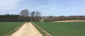
Photos


Positioning
Country:
Belgium
Region :
Wallonia
Department/Province :
Namur
Municipality :
Profondeville
Location:
Lesve
Start:(Dec)
Start:(UTM)
626678 ; 5581684 (31U) N.
Comments