


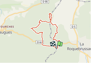
Le mystérieux pylône

JPC83
User

Length
8.6 km

Max alt
618 m

Uphill gradient
465 m
Km-Effort
14.8 km

Min alt
400 m

Downhill gradient
466 m
Boucle
Yes
Creation date :
2018-04-17 23:54:16.819
Updated on :
2018-04-17 23:54:16.819
3h29
Difficulty : Unknown

FREE GPS app for hiking
 SityTrail
IGN / Geographical institutes
SityTrail Plus
The world is yours!
About
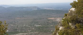
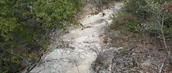
Trail Other activity of 8.6 km to be discovered at Provence-Alpes-Côte d'Azur, Var, Mazaugues. This trail is proposed by JPC83.
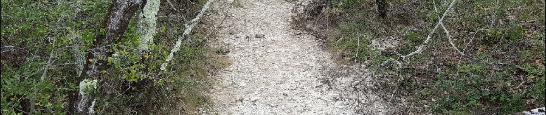
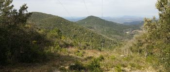
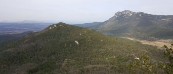
Photos


26 photos in total. Please click on a photo to see them all in the gallery.

Positioning
Country:
France
Region :
Provence-Alpes-Côte d'Azur
Department/Province :
Var
Municipality :
Mazaugues
Location:
Unknown
Start:(Dec)
Start:(UTM)
739864 ; 4802682 (31T) N.
Comments