


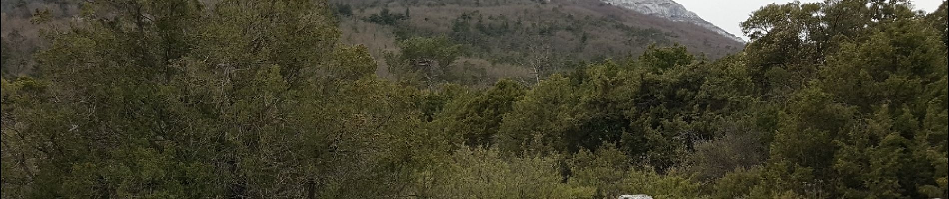
Le pylône de Fontfrège

JPC83
User
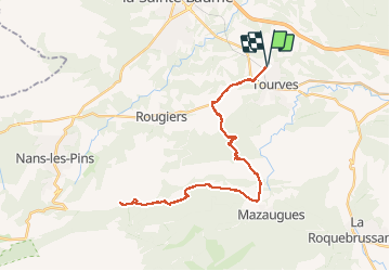

Length
41 km

Max alt
726 m

Uphill gradient
796 m
Km-Effort
51 km

Min alt
293 m

Downhill gradient
786 m
Boucle
Yes
Creation date :
2018-04-17 23:59:43.817
Updated on :
2018-04-17 23:59:43.817
2h03
Difficulty : Unknown

FREE GPS app for hiking
 SityTrail
IGN / Geographical institutes
SityTrail Plus
The world is yours!
About
Trail Other activity of 41 km to be discovered at Provence-Alpes-Côte d'Azur, Var, Tourves. This trail is proposed by JPC83.
Photos


Positioning
Country:
France
Region :
Provence-Alpes-Côte d'Azur
Department/Province :
Var
Municipality :
Tourves
Location:
Unknown
Start:(Dec)
Start:(UTM)
736338 ; 4811161 (31T) N.
Comments