


Marigna-Monnetay

Bogapuki
User
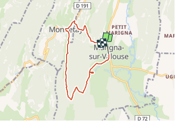

Length
6.5 km

Max alt
605 m

Uphill gradient
227 m
Km-Effort
9.5 km

Min alt
383 m

Downhill gradient
233 m
Boucle
No
Creation date :
2018-11-25 09:18:50.015
Updated on :
2018-11-25 09:18:50.015
2h01
Difficulty : Unknown

FREE GPS app for hiking
 SityTrail
IGN / Geographical institutes
SityTrail Plus
The world is yours!
About
Trail Walking of 6.5 km to be discovered at Bourgogne-Franche-Comté, Jura, Marigna-sur-Valouse. This trail is proposed by Bogapuki.
Description
8 avril 2018
Petite rando, facile, à faire même en famille. Peut également être faite en sens inverse, montée douce mais descente un peu plus raide.
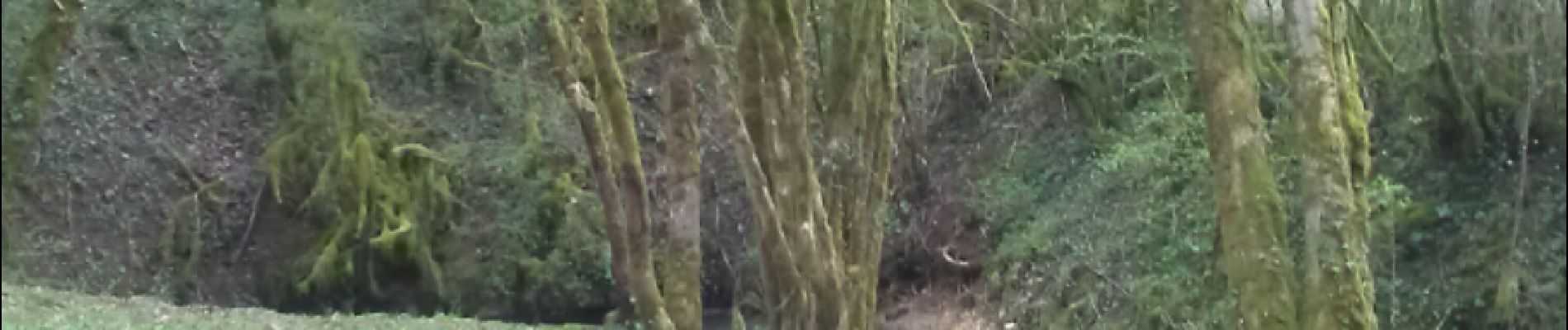
Photos


Positioning
Country:
France
Region :
Bourgogne-Franche-Comté
Department/Province :
Jura
Municipality :
Marigna-sur-Valouse
Location:
Unknown
Start:(Dec)
Start:(UTM)
693973 ; 5146946 (31T) N.
Comments