


hamars

Roulland
User
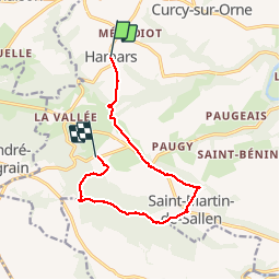

Length
10 km

Max alt
267 m

Uphill gradient
268 m
Km-Effort
13.6 km

Min alt
86 m

Downhill gradient
292 m
Boucle
No
Creation date :
2018-06-26 11:00:00.561
Updated on :
2018-06-26 11:00:00.561
3h05
Difficulty : Unknown

FREE GPS app for hiking
 SityTrail
IGN / Geographical institutes
SityTrail Plus
The world is yours!
About
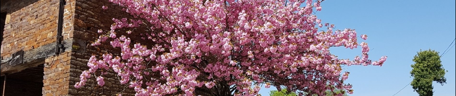
Trail Other activity of 10 km to be discovered at Normandy, Calvados, Le Hom. This trail is proposed by Roulland.
Photos

Positioning
Country:
France
Region :
Normandy
Department/Province :
Calvados
Municipality :
Le Hom
Location:
Hamars
Start:(Dec)
Start:(UTM)
679443 ; 5430242 (30U) N.
Comments