


SVG 180422 - Isatis

randodan
User
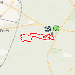

Length
10.8 km

Max alt
142 m

Uphill gradient
153 m
Km-Effort
12.8 km

Min alt
91 m

Downhill gradient
152 m
Boucle
Yes
Creation date :
2018-06-26 11:11:39.496
Updated on :
2018-06-26 11:11:39.496
7h23
Difficulty : Unknown

FREE GPS app for hiking
 SityTrail
IGN / Geographical institutes
SityTrail Plus
The world is yours!
About
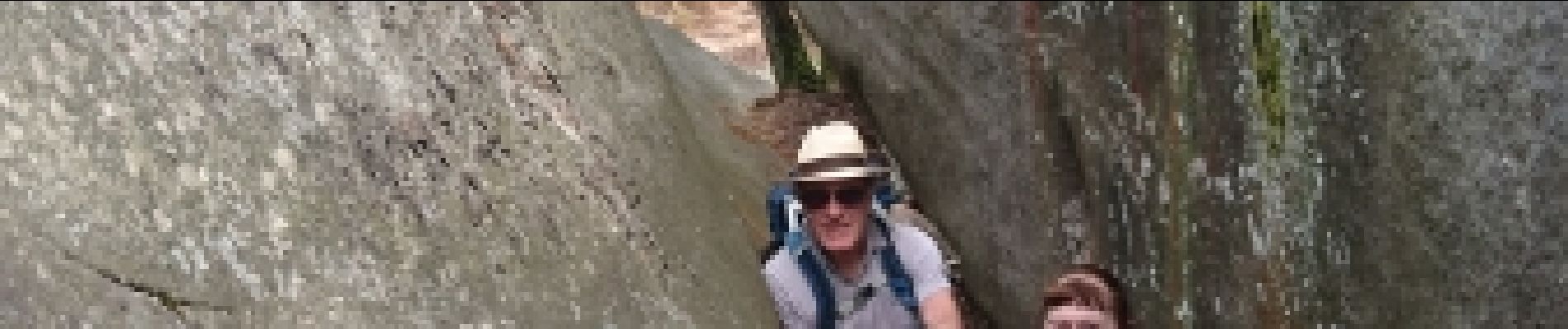
Trail Walking of 10.8 km to be discovered at Ile-de-France, Seine-et-Marne, Fontainebleau. This trail is proposed by randodan.
Photos


Positioning
Country:
France
Region :
Ile-de-France
Department/Province :
Seine-et-Marne
Municipality :
Fontainebleau
Location:
Unknown
Start:(Dec)
Start:(UTM)
472980 ; 5361815 (31U) N.
Comments