


La Cardogne

Gegetop
User
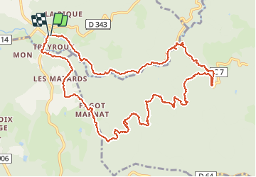

Length
14 km

Max alt
528 m

Uphill gradient
325 m
Km-Effort
18.3 km

Min alt
312 m

Downhill gradient
325 m
Boucle
Yes
Creation date :
2018-06-26 12:31:31.439
Updated on :
2018-06-26 12:31:31.439
2h54
Difficulty : Easy

FREE GPS app for hiking
 SityTrail
IGN / Geographical institutes
SityTrail Plus
The world is yours!
About
Trail Walking of 14 km to be discovered at Auvergne-Rhône-Alpes, Puy-de-Dôme, Puy-Guillaume. This trail is proposed by Gegetop.
Description
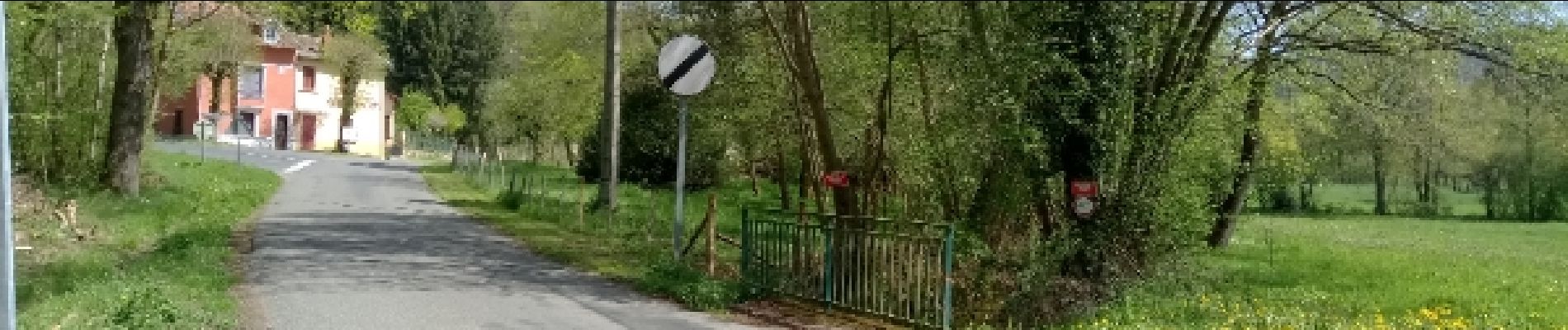
Le ruisseau la Cardogne est de toute beauté
Photos


Positioning
Country:
France
Region :
Auvergne-Rhône-Alpes
Department/Province :
Puy-de-Dôme
Municipality :
Puy-Guillaume
Location:
Unknown
Start:(Dec)
Start:(UTM)
540304 ; 5087843 (31T) N.
Comments