


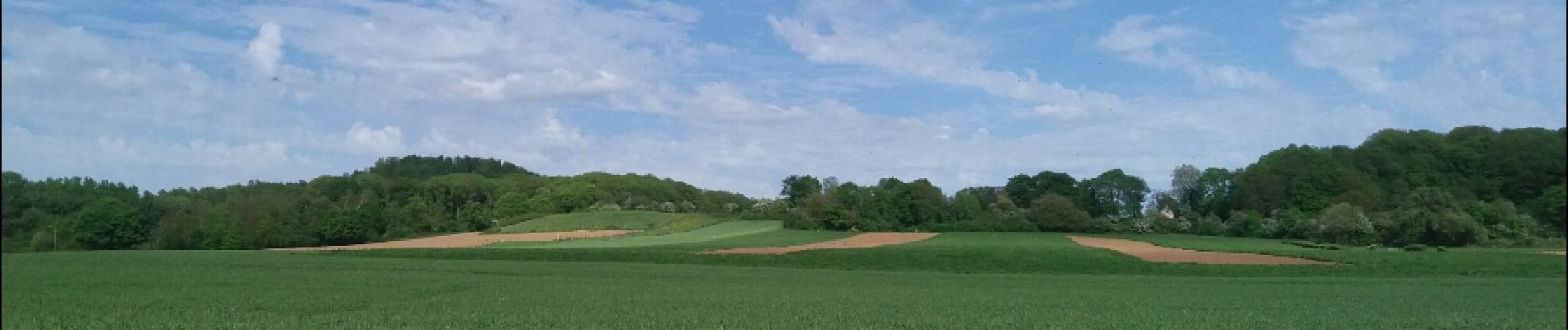
kanne cimetière . montagne st Pierre sud

stef789
User GUIDE
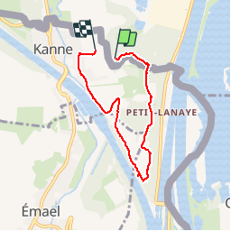

Length
5.3 km

Max alt
122 m

Uphill gradient
57 m
Km-Effort
6.1 km

Min alt
53 m

Downhill gradient
83 m
Boucle
No
Creation date :
2018-06-26 12:36:54.085
Updated on :
2018-06-26 12:36:54.085
1h02
Difficulty : Easy

FREE GPS app for hiking
 SityTrail
IGN / Geographical institutes
SityTrail Plus
The world is yours!
About
Trail Walking of 5.3 km to be discovered at Limburg, Unknown, Maastricht. This trail is proposed by stef789.
Photos

Positioning
Country:
Netherlands
Region :
Limburg
Department/Province :
Unknown
Municipality :
Maastricht
Location:
Unknown
Start:(Dec)
Start:(UTM)
688871 ; 5632448 (31U) N.
Comments