


L'éléphant de pierre par Maramouyé

francisdean
User
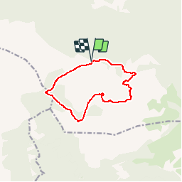

Length
11.1 km

Max alt
659 m

Uphill gradient
273 m
Km-Effort
14.7 km

Min alt
438 m

Downhill gradient
271 m
Boucle
Yes
Creation date :
2018-06-26 13:13:21.093
Updated on :
2018-06-26 13:13:21.093
3h10
Difficulty : Easy

FREE GPS app for hiking
 SityTrail
IGN / Geographical institutes
SityTrail Plus
The world is yours!
About
Trail Walking of 11.1 km to be discovered at Provence-Alpes-Côte d'Azur, Var, Signes. This trail is proposed by francisdean.
Positioning
Country:
France
Region :
Provence-Alpes-Côte d'Azur
Department/Province :
Var
Municipality :
Signes
Location:
Unknown
Start:(Dec)
Start:(UTM)
733791 ; 4791335 (31T) N.
Comments