


Catus,Rostassac,Catus

rouky
User


Length
18.1 km

Max alt
287 m

Uphill gradient
455 m
Km-Effort
24 km

Min alt
128 m

Downhill gradient
453 m
Boucle
Yes
Creation date :
2014-12-10 00:00:00.0
Updated on :
2014-12-10 00:00:00.0
2h56
Difficulty : Medium

FREE GPS app for hiking
 SityTrail
IGN / Geographical institutes
SityTrail Plus
The world is yours!
About
Trail Nordic walking of 18.1 km to be discovered at Occitania, Lot, Catus. This trail is proposed by rouky.
Description
Boucle au départ de Catus ,sur les 2 rives du vert
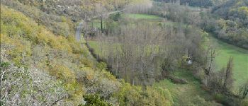
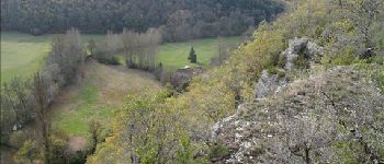
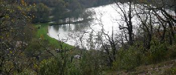
Photos


Positioning
Country:
France
Region :
Occitania
Department/Province :
Lot
Municipality :
Catus
Location:
Unknown
Start:(Dec)
Start:(UTM)
367107 ; 4934567 (31T) N.
Comments