


Semussac trace 10

acatala
User
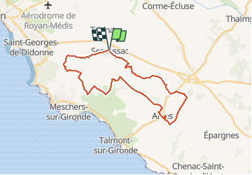

Length
31 km

Max alt
55 m

Uphill gradient
290 m
Km-Effort
35 km

Min alt
0 m

Downhill gradient
291 m
Boucle
Yes
Creation date :
2018-06-26 13:48:59.358
Updated on :
2018-06-26 13:48:59.358
2h30
Difficulty : Easy

FREE GPS app for hiking
 SityTrail
IGN / Geographical institutes
SityTrail Plus
The world is yours!
About
Trail Mountain bike of 31 km to be discovered at New Aquitaine, Charente-Maritime, Semussac. This trail is proposed by acatala.
Description
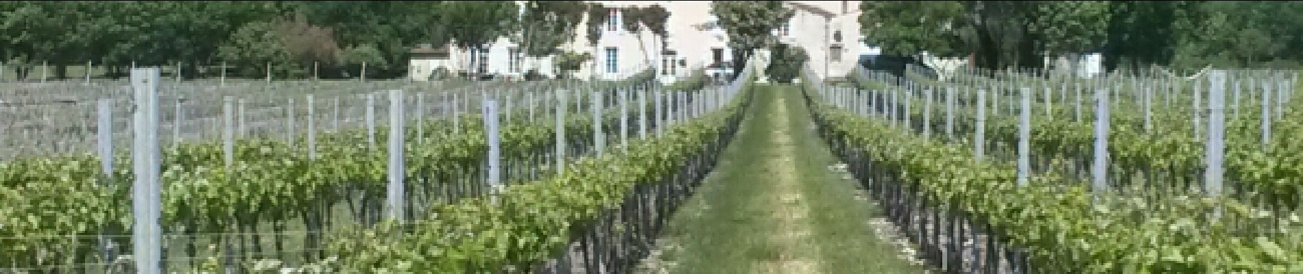
Au milieu des champs de blé, des vignes et des marais
Photos


Positioning
Country:
France
Region :
New Aquitaine
Department/Province :
Charente-Maritime
Municipality :
Semussac
Location:
Unknown
Start:(Dec)
Start:(UTM)
662771 ; 5051737 (30T) N.
Comments