Trail Walking Lanildut - Aber Ildut - Tremazan - Photo

Aber Ildut - Tremazan

 med88
med88

User

© OpenStreetMap contributors
Length
Length
19.5 km
Max alt
Max alt
26 m
Uphill gradient
Uphill gradient
157 m
Km-Effort
Km-Effort  
22 km
Min alt
Min alt
-1 m
Downhill gradient
Downhill gradient
155 m
Boucle
Boucle
No
Creation date :
2018-06-26 14:17:08.049
Updated on :
2018-06-26 14:17:08.049

(0 Reviews)

Walking
Walking
4h42
Difficulty : Easy

Scan this QR Code to open this trail in the SityTrail application

FREE GPS app for hiking

Logo SityTrail SityTrail

IGN / Geographical institutes

Download SityTrail from the App Store Download SityTrail from Google Play

Logo SityTrail SityTrail World

The world is yours!

Download SityTrail from the App Store Download SityTrail from Google Play Download SityTrail on Huawei AppGallery

About

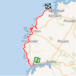
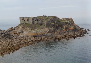
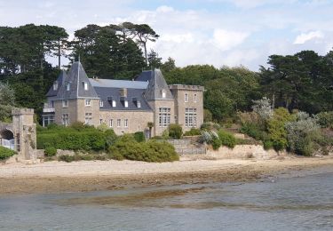
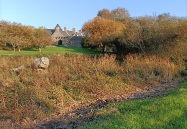
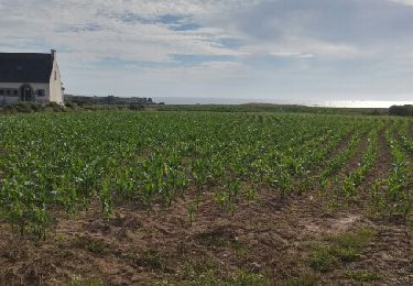
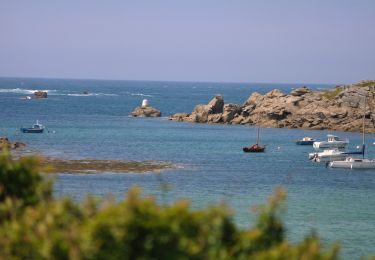
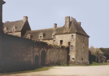
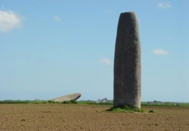
Trail Walking of 19.5 km to be discovered at Brittany, Finistère, Lanildut. This trail is proposed by med88.

Description

2 voitures Attention au vent pour le sens de la randonnée.

Elevation profile

Photos

Positioning

Country:
France
Region :
Brittany
Department/Province :
Finistère
Municipality :
Lanildut
Location:
Unknown
Start:(UTM)
370090 ; 5370100 (30U) N.

Trails nearby

Trail Walking Lanildut - Autour de Lanildut  - Photo
Walking
tracegps

Walking

Easy
(2)
Lanildut, Brittany, Finistère, France
7 km | 8 km-effort
1h 45min
Yes
Trail Walking Lampaul-Plouarzel - 09.09.23  Lampaul- Plouarzel  -- Le Conquet - Photo
Walking
donda

Walking

Very difficult
Lampaul-Plouarzel, Brittany, Finistère, France
21 km | 26 km-effort
5h 49min
No
Trail Walking Lampaul-Plouarzel - Lanpaul - Lochrist - Photo
Walking
swp648

Walking

Medium
Lampaul-Plouarzel, Brittany, Finistère, France
19.8 km | 24 km-effort
5h 7min
No
Trail Nordic walking Porspoder - porspoder - Photo
Nordic walking
elianette

Nordic walking

Very easy
Porspoder, Brittany, Finistère, France
13.2 km | 14.4 km-effort
3h 13min
Yes
Trail Walking Porspoder - Circuit de la pointe Garchine par les terres. - Photo
Walking
Dervalmarc

Walking

Very easy
(1)
Porspoder, Brittany, Finistère, France
9.3 km | 10.5 km-effort
2h 57min
Yes
Trail Walking Lanildut - Lanildut Porspoder - Photo
Walking
cron

Walking

Medium
(1)
Lanildut, Brittany, Finistère, France
18.3 km | 21 km-effort
4h 34min
Yes
Trail Cycle Porspoder - Les Menhirs, circuit n°3 - Photo
Cycle
tracegps

Cycle

Medium
Porspoder, Brittany, Finistère, France
25 km | 29 km-effort
1h 30min
Yes
Trail Mountain bike Brélès - Espace VTT FFC du Pays d'Iroise- Circuit n° 12  - Photo
Mountain bike
tracegps

Mountain bike

Very difficult
Brélès, Brittany, Finistère, France
65 km | 73 km-effort
4h 30min
Yes
Trail Mountain bike Brélès - Espace VTT FFC du Pays d'Iroise- Circuit n° 9  - Photo
Mountain bike
tracegps

Mountain bike

Medium
(1)
Brélès, Brittany, Finistère, France
21 km | 24 km-effort
1h 19min
Yes


Close
My subscriptions