


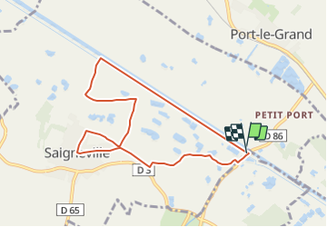
LP80_Petit-Port-Saigneville_7.7km

BAIE de SOMME & alentours
Autour de la Baie à pieds


1h53
Difficulty : Very easy

FREE GPS app for hiking
 SityTrail
IGN / Geographical institutes
SityTrail Plus
The world is yours!
About
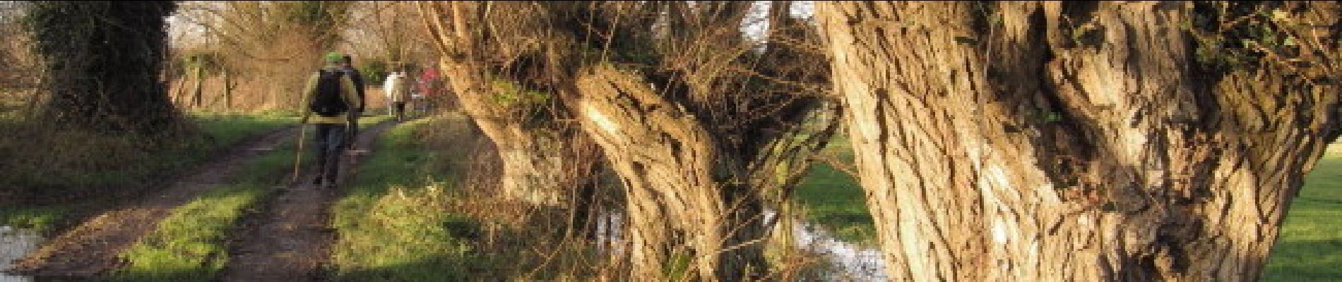
Trail Walking of 7.7 km to be discovered at Hauts-de-France, Somme, Saigneville. This trail is proposed by BAIE de SOMME & alentours.
Description
Descendre la Somme par le chemin de halage.
Passage par les bocages, escalader la "petite montagne" par l'escalier (plus de 120 marches), visiter la carte du resto place de l'église, traverser les marais municipaux, quelques chevaux en liberté, veiller à bien refermer les clotures à l'entrée et utiliser le tourniquet à la sortie du marais .
http://tourisme-baiedesomme.fr/fr/1-presentation/66-saigneville.html
Photos


Positioning
Comments