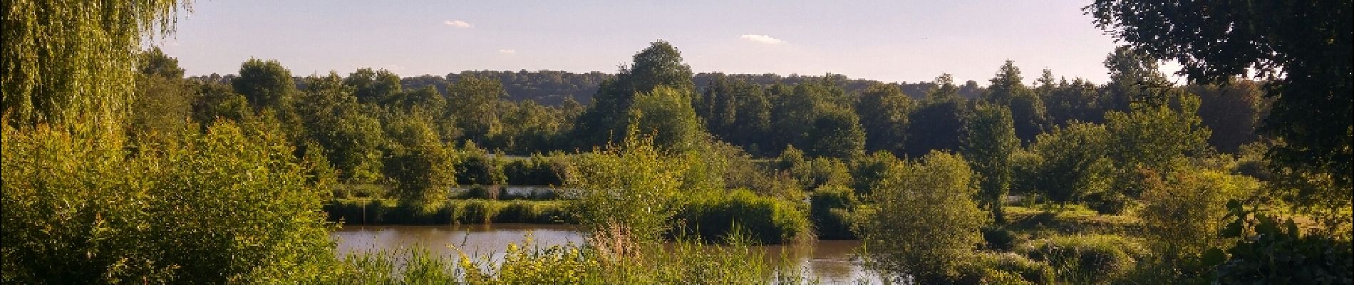
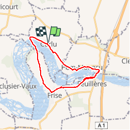
Autour des étangs de Curlu et Feuillères

terminio
User

Length
11.6 km

Max alt
61 m

Uphill gradient
80 m
Km-Effort
12.7 km

Min alt
41 m

Downhill gradient
81 m
Boucle
Yes
Creation date :
2019-01-15 12:06:05.519
Updated on :
2019-01-15 12:06:05.519
3h11
Difficulty : Easy

FREE GPS app for hiking
 SityTrail
IGN / Geographical institutes
SityTrail Plus
The world is yours!
About
Trail Walking of 11.6 km to be discovered at Hauts-de-France, Somme, Curlu. This trail is proposed by terminio.
Description
randonnée variée avec de magnifiques paysages étangs et verdures sont au rendez vous !!!
Photos


Positioning
Country:
France
Region :
Hauts-de-France
Department/Province :
Somme
Municipality :
Curlu
Location:
Unknown
Start:(Dec)
Start:(UTM)
486790 ; 5534758 (31U) N.
Comments