


SVG 180624

randodan
User
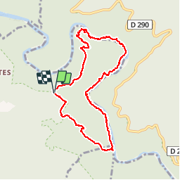

Length
9.2 km

Max alt
275 m

Uphill gradient
363 m
Km-Effort
14 km

Min alt
58 m

Downhill gradient
362 m
Boucle
Yes
Creation date :
2018-06-26 17:10:54.509
Updated on :
2018-06-26 17:10:54.509
5h35
Difficulty : Unknown

FREE GPS app for hiking
 SityTrail
IGN / Geographical institutes
SityTrail Plus
The world is yours!
About
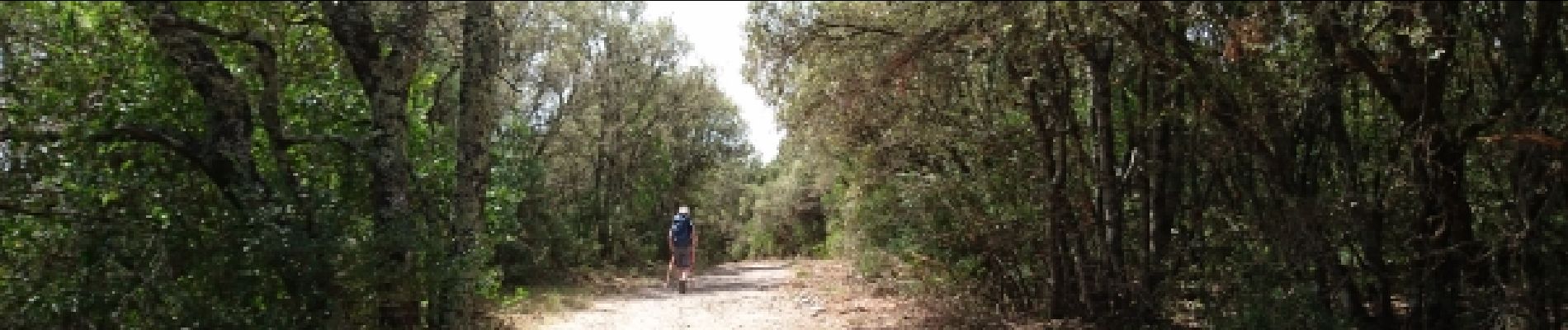
Trail Walking of 9.2 km to be discovered at Auvergne-Rhône-Alpes, Ardèche, Labastide-de-Virac. This trail is proposed by randodan.
Description
svg
Photos


Positioning
Country:
France
Region :
Auvergne-Rhône-Alpes
Department/Province :
Ardèche
Municipality :
Labastide-de-Virac
Location:
Unknown
Start:(Dec)
Start:(UTM)
615578 ; 4912049 (31T) N.
Comments