


avezé Sarthe

werth
User
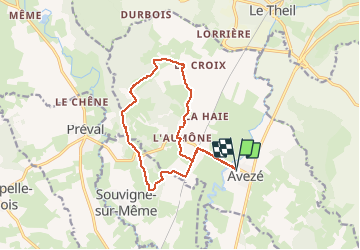

Length
13.4 km

Max alt
179 m

Uphill gradient
183 m
Km-Effort
15.9 km

Min alt
85 m

Downhill gradient
183 m
Boucle
Yes
Creation date :
2019-01-15 12:22:20.959
Updated on :
2019-01-15 12:22:20.959
4h17
Difficulty : Easy

FREE GPS app for hiking
 SityTrail
IGN / Geographical institutes
SityTrail Plus
The world is yours!
About
Trail Walking of 13.4 km to be discovered at Pays de la Loire, Sarthe, Avezé. This trail is proposed by werth.
Description
Bien balisé jaune
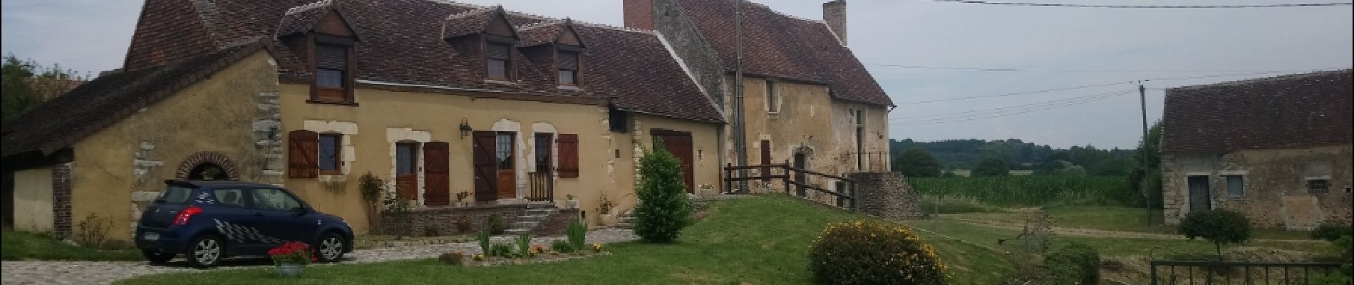
Photos


Positioning
Country:
France
Region :
Pays de la Loire
Department/Province :
Sarthe
Municipality :
Avezé
Location:
Unknown
Start:(Dec)
Start:(UTM)
327387 ; 5344166 (31U) N.
Comments