


13,9 km | 17,6 km-effort
Saint-Hubert: Descubra las mejores excursiones: 63 a pie, 526 senderismo, 33 marcha nórdica, 2 carrera y 8 ruta. Todos estos circuitos, recorridos, itinerarios y actividades al aire libre están disponibles en nuestras aplicaciones SityTrail para smartphone y tablet.
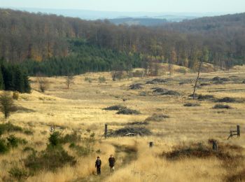
Senderismo


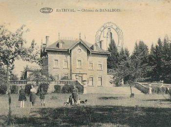
Senderismo
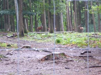
Senderismo

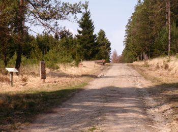
Senderismo

Senderismo
Senderismo
Senderismo
Senderismo

Senderismo
Senderismo
Senderismo

Senderismo
Senderismo
Senderismo
Senderismo
Senderismo
Senderismo
• Par le "Rau de Rabani" vers l'observatoire de Bialaude et retour par le chemin du Fond des Grippes, la rive droite de...
Senderismo
Senderismo
Senderismo
20 excursiones mostradas en 626
Aplicación GPS de excursión GRATIS
 SityTrail
IGN / Institutos geográficos
SityTrail World
El mundo es suyo