


5,4 km | 6,7 km-effort
Riemst: Descubra las mejores excursiones: 7 a pie, 95 senderismo y 2 marcha nórdica. Todos estos circuitos, recorridos, itinerarios y actividades al aire libre están disponibles en nuestras aplicaciones SityTrail para smartphone y tablet.
Senderismo


Senderismo

A pie
Senderismo
A pie
• Trail created by Regionaal Landschap Haspengouw en Voeren. Symbol: arrow
A pie
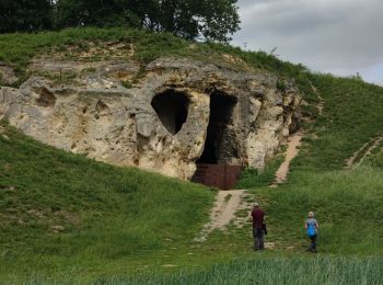
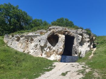
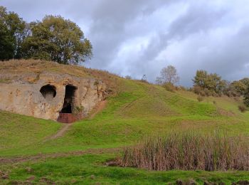
• Het kalkmassief van de Sint-Pietersberg ligt op de grens van Nederland, Vlaanderen en Wallonië. Dit is een unieke str...
A pie
• Het kalkmassief van de Sint-Pietersberg ligt op de grens van Nederland, Vlaanderen en Wallonië. Dit is een unieke str...
A pie
• Trail created by Orchis.

Senderismo
• More information on : http://www.wandelgidszuidlimburg.com

Senderismo
Senderismo
Senderismo
Marcha nórdica

A pie
Senderismo

Senderismo
Marcha nórdica
Senderismo
Senderismo
Senderismo
20 excursiones mostradas en 104
Aplicación GPS de excursión GRATIS
 SityTrail
IGN / Institutos geográficos
SityTrail World
El mundo es suyo